›››
Bulgaria — Media Gallery
12 items available (flags, maps, photos)
Photos
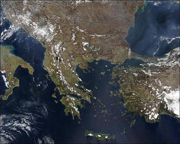
Countries shown in this late winter satellite image of the southern Balkan Peninsula include Italy (left center edge), Greece (below center), and Turkey (right edge). At upper right is the Black Sea, at center is the Aegean Sea, at upper left is the Adriatic Sea, and at bottom left is the Mediterranean Sea. North of Turkey are Bulgaria and Romania. Moving clockwise from top left are Croatia, Serbia, Macedonia, and Albania. North of Albania is Montenegro and Bosnia-Herzegovina. Red dots indicating scattered fires are fairly widespread across Bulgaria. Image courtesy of NASA.
Countries shown in this late winter satellite image of the southern Balkan Peninsula include Italy (left center edge), Greece (below center), and Turkey (right edge). At upper right is the Black Sea, at center is the Aegean Sea, at upper left is the Adriatic Sea, and at bottom left is the Mediterranean Sea. North of Turkey are Bulgaria and Romania. Moving clockwise from top left are Croatia, Serbia, Macedonia, and Albania. North of Albania is Montenegro and Bosnia-Herzegovina. Red dots indicating scattered fires are fairly widespread across Bulgaria. Image courtesy of NASA. • CIA World Factbook • 2020
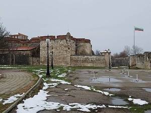
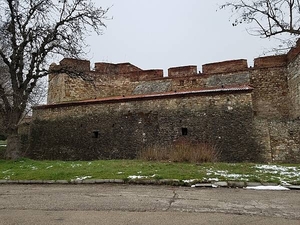
Baba Vida, a medieval fortress in Vidin in northwestern Bulgaria, is the town's primary landmark and a popular tourist destination.
Baba Vida, a medieval fortress in Vidin in northwestern Bulgaria, is the town's primary landmark and a popular tourist destination. • CIA World Factbook • 2020
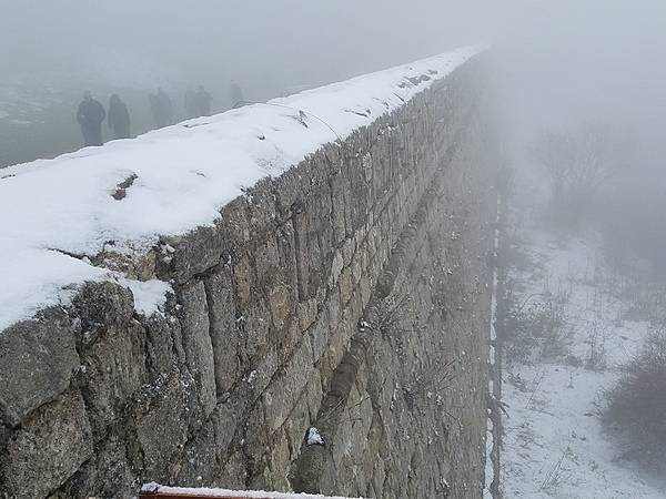
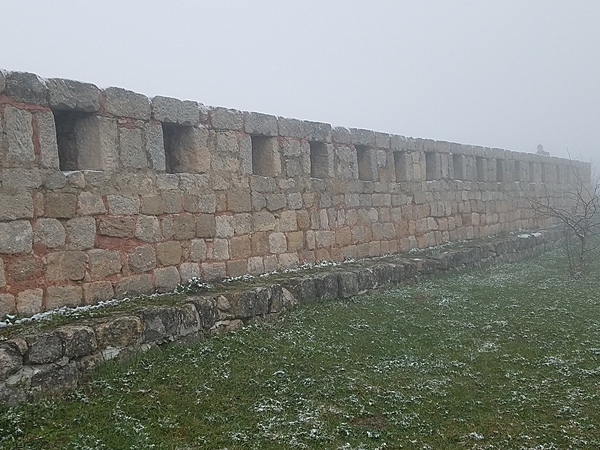
Wall of the Belogradchik Fortress in the rocks near Vidin.
Wall of the Belogradchik Fortress in the rocks near Vidin. • CIA World Factbook • 2020
Baba Vida, a medieval fortress in Vidin in northwestern Bulgaria, is the town's primary landmark and a popular tourist destination.
Baba Vida, a medieval fortress in Vidin in northwestern Bulgaria, is the town's primary landmark and a popular tourist destination. • CIA World Factbook • 2020
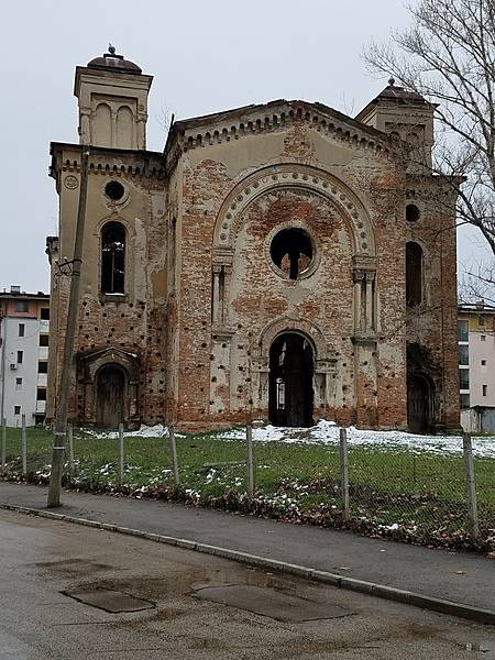
Vidin Synagogue, completed in 1894, was the second largest synagogue in Bulgaria. Most of its congregation emigrated to Israel following World War II. Seized by the state in 1950, the synagogue is now in ruins, but there are plans to restore it as a museum.
Vidin Synagogue, completed in 1894, was the second largest synagogue in Bulgaria. Most of its congregation emigrated to Israel following World War II. Seized by the state in 1950, the synagogue is now in ruins, but there are plans to restore it as a museum. • CIA World Factbook • 2020
Wall of the Belogradchik Fortress in the rocks near Vidin.
Wall of the Belogradchik Fortress in the rocks near Vidin. • CIA World Factbook • 2020
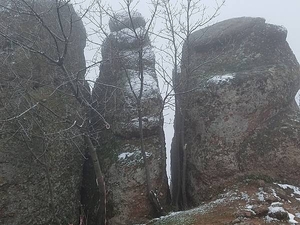
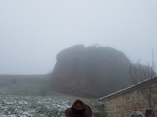
Belogradchik Rocks near Vidin. Each of the limestone rocks has its own name.
Belogradchik Rocks near Vidin. Each of the limestone rocks has its own name. • CIA World Factbook • 2020
Belogradchik Rocks near Vidin. Each of the limestone rocks has its own name.
Belogradchik Rocks near Vidin. Each of the limestone rocks has its own name. • CIA World Factbook • 2020
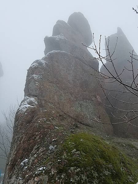
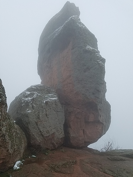
One of the Belogradchik Rocks near Vidin. Some of the Rocks were incorporated into the walls and defenses of Belogradchik Fortress.
One of the Belogradchik Rocks near Vidin. Some of the Rocks were incorporated into the walls and defenses of Belogradchik Fortress. • CIA World Factbook • 2020
Belogradchik Rocks near Vidin. Each of the limestone rocks has its own name.
Belogradchik Rocks near Vidin. Each of the limestone rocks has its own name. • CIA World Factbook • 2020
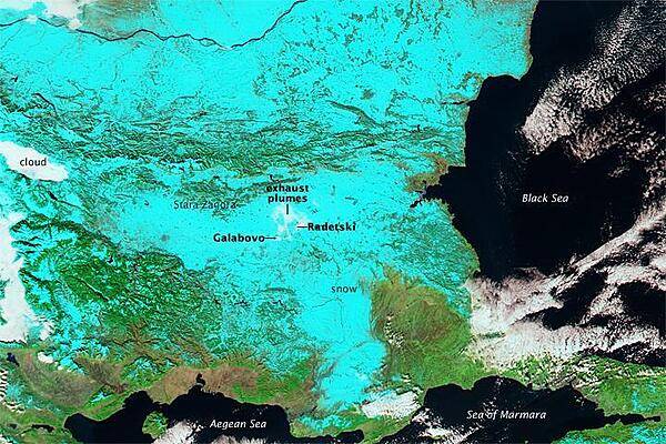
A wintertime false-color image shows most of Bulgaria covered in snow (light blue). The Danube River, which makes up much of the northern border of the country, snakes across the top of the photo. Clouds appear white as do exhaust plumes from power plants at Galabovo and Radetski. Image courtesy of NASA.
A wintertime false-color image shows most of Bulgaria covered in snow (light blue). The Danube River, which makes up much of the northern border of the country, snakes across the top of the photo. Clouds appear white as do exhaust plumes from power plants at Galabovo and Radetski. Image courtesy of NASA. • CIA World Factbook • 2020
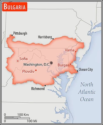
Area comparison map
Area comparison map • CIA World Factbook • 2020
Media source: CIA World Factbook (2020) — Public Domain