›››
Panama — Media Gallery
17 items available (flags, maps, photos)
Photos
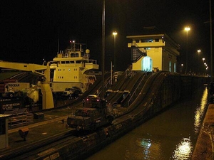
A view of the Panama Canal at night, including one of the locks buildings and a "mule," one of the trains that pull ships through the locks.
A view of the Panama Canal at night, including one of the locks buildings and a "mule," one of the trains that pull ships through the locks. • CIA World Factbook • 2020
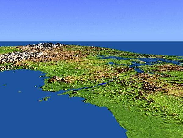
This shaded-relief perspective view - generated using topographic data from a space shuttle mission - shows the Panama Canal with the Pacific-side Gulf of Panama in the foreground and the Caribbean Sea in the distance. Water levels are maintained along its length by three reservoirs, the largest of which is Lake Gatun, visible at the right center of the image. Built by the US Army Corps of Engineers between 1904 and 1914, the canal extends for approximately 80 km (50 mi), and is widely considered to be one of the world's great engineering achievements. Imagery credit: NASA.
This shaded-relief perspective view - generated using topographic data from a space shuttle mission - shows the Panama Canal with the Pacific-side Gulf of Panama in the foreground and the Caribbean Sea in the distance. Water levels are maintained along its length by three reservoirs, the largest of which is Lake Gatun, visible at the right center of the image. Built by the US Army Corps of Engineers between 1904 and 1914, the canal extends for approximately 80 km (50 mi), and is widely considered to be one of the world's great engineering achievements. Imagery credit: NASA. • CIA World Factbook • 2020
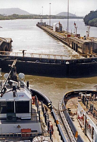
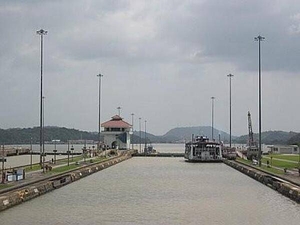
A view of a portion of the Panama Canal showing two tugs and lock gates.
A view of a portion of the Panama Canal showing two tugs and lock gates. • CIA World Factbook • 2020
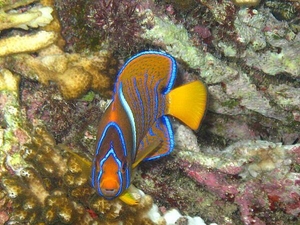
A tropical reef fish.
A tropical reef fish. • CIA World Factbook • 2020
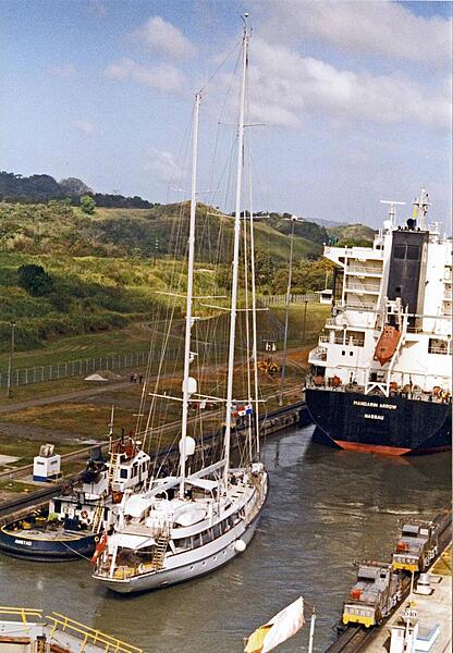
All sizes of ships go through the Panama Canal.
All sizes of ships go through the Panama Canal. • CIA World Factbook • 2020
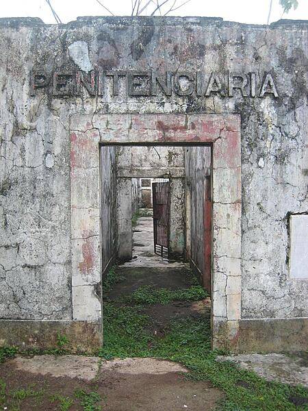
The ruins of a jungle prison on the island of Coiba in Panama. The entire island was once a penal colony, but is now a nature reserve. The last few prisoners, who have no other home, tend the ruins of the main prison grounds.
The ruins of a jungle prison on the island of Coiba in Panama. The entire island was once a penal colony, but is now a nature reserve. The last few prisoners, who have no other home, tend the ruins of the main prison grounds. • CIA World Factbook • 2020
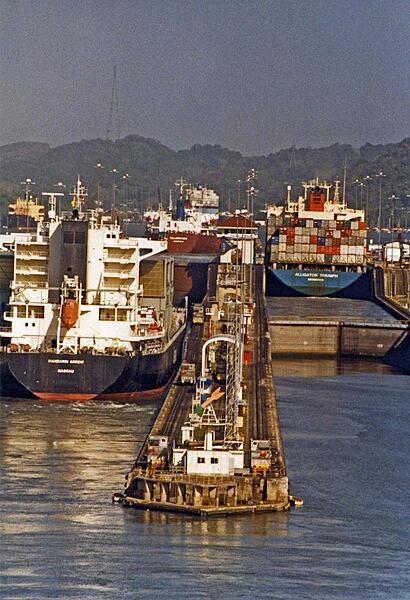
Container ships passing through locks in the Panama Canal.
Container ships passing through locks in the Panama Canal. • CIA World Factbook • 2020
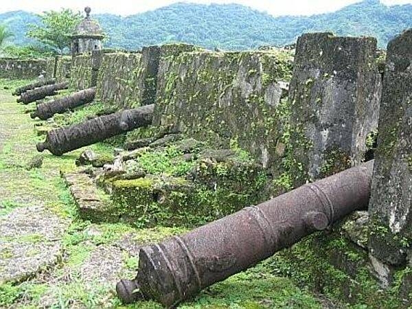
Canons at the fortress in Portobelo.
Canons at the fortress in Portobelo. • CIA World Factbook • 2020
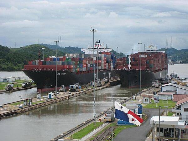
Two container ships passing through locks of the Panama Canal.
Two container ships passing through locks of the Panama Canal. • CIA World Factbook • 2020
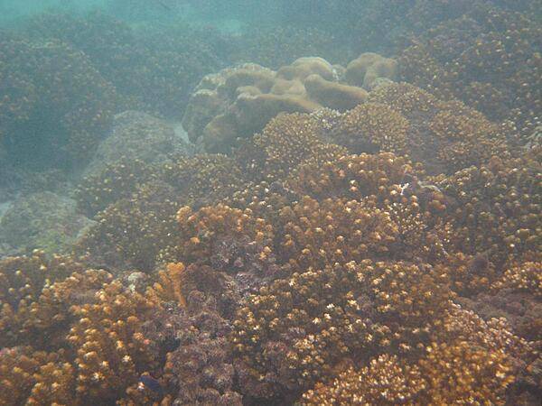
A Panamanian coral reef.
A Panamanian coral reef. • CIA World Factbook • 2020
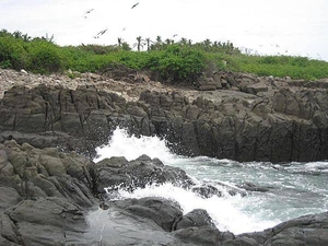
The rocky coast of Iguana Island on the Pacific coast of Panama. Sparsely inhabited by humans, this wildlife refuge teems with amazing bird and marine life.
The rocky coast of Iguana Island on the Pacific coast of Panama. Sparsely inhabited by humans, this wildlife refuge teems with amazing bird and marine life. • CIA World Factbook • 2020
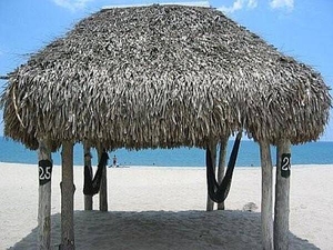
An inviting Panama beach.
An inviting Panama beach. • CIA World Factbook • 2020
A section of the Panama Canal.
A section of the Panama Canal. • CIA World Factbook • 2020
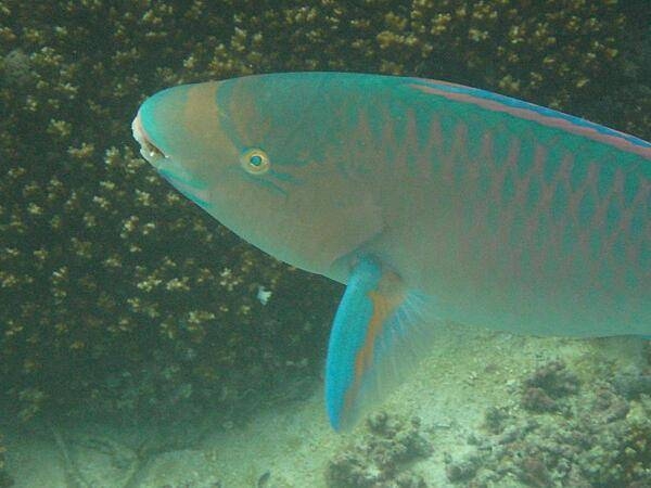
A parrot fish swimming in a Panamanian coral reef.
A parrot fish swimming in a Panamanian coral reef. • CIA World Factbook • 2020
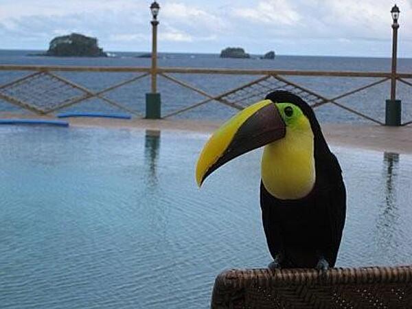
A Panamanian toucan.
A Panamanian toucan. • CIA World Factbook • 2020
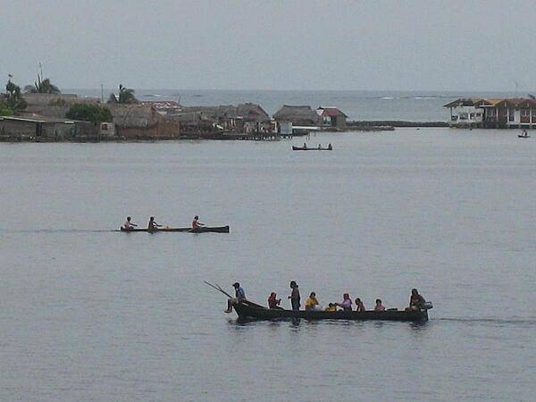
Kuna Indians rowing past their villages in the San Blas Islands of northeastern Panama.
Kuna Indians rowing past their villages in the San Blas Islands of northeastern Panama. • CIA World Factbook • 2020
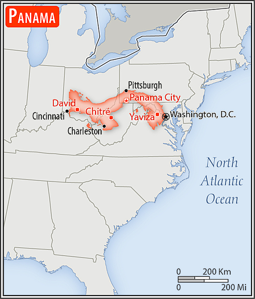
Area comparison map
Area comparison map • CIA World Factbook • 2020
Media source: CIA World Factbook (2020) — Public Domain