›››
Zimbabwe — Media Gallery
21 items available (flags, maps, photos)
Photos
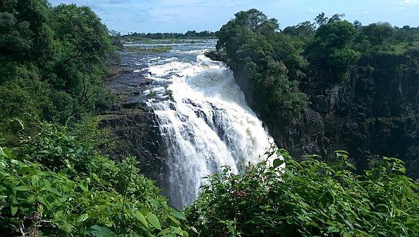
Some of the cascading waters at Victoria Falls.
Some of the cascading waters at Victoria Falls. • CIA World Factbook • 2020
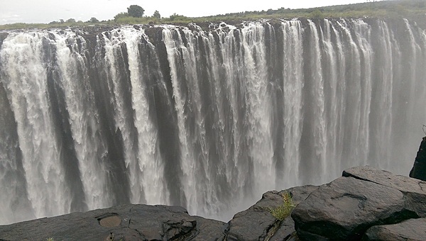
A closer view of Victoria Falls' plunging waters. The falls are located between the borders of Zambia and Zimbabwe.
A closer view of Victoria Falls' plunging waters. The falls are located between the borders of Zambia and Zimbabwe. • CIA World Factbook • 2020
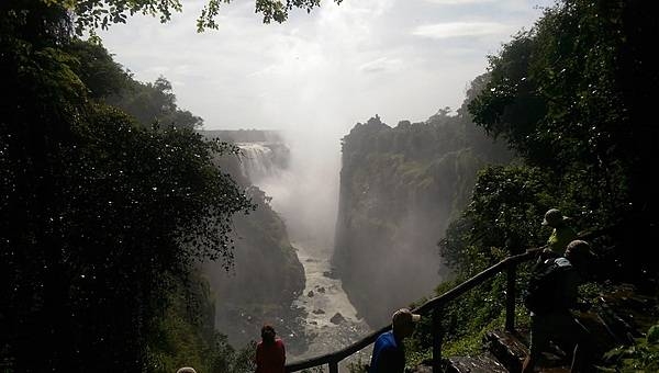
More than 1.5 km wide (about 1 mi), Victoria Falls throws up tremendous clouds of mist.
More than 1.5 km wide (about 1 mi), Victoria Falls throws up tremendous clouds of mist. • CIA World Factbook • 2020
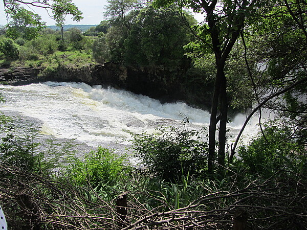
Cascading rapids at the upper brink of Victoria Falls.
Cascading rapids at the upper brink of Victoria Falls. • CIA World Factbook • 2020
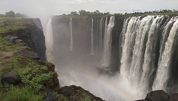
Sunlight penetrating the mist thrown up at Victoria Falls can create rainbows. The power, height, and majesty of the falls are all evident in this scene.
Sunlight penetrating the mist thrown up at Victoria Falls can create rainbows. The power, height, and majesty of the falls are all evident in this scene. • CIA World Factbook • 2020
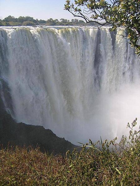
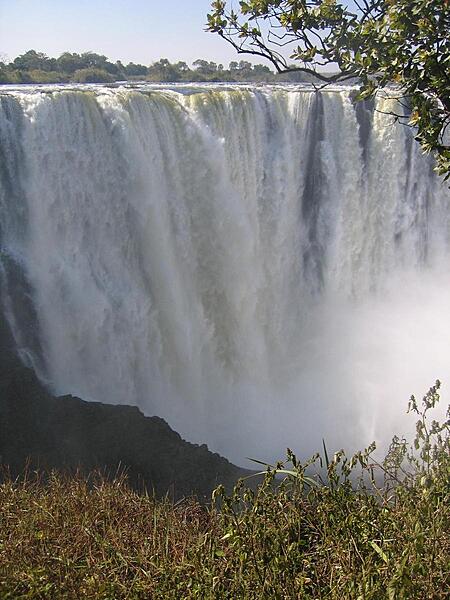
The plunging torrents of Victoria Falls. During flood season (February to April), the falls form the greatest sheet of falling water on earth.
The plunging torrents of Victoria Falls. During flood season (February to April), the falls form the greatest sheet of falling water on earth. • CIA World Factbook • 2020
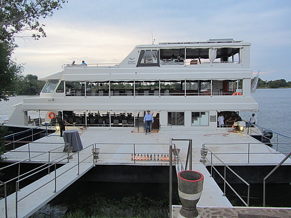
River boat moored on the Zambezi River.
River boat moored on the Zambezi River. • CIA World Factbook • 2020
CIA World Factbook • 2020
Plumes of mist over Victoria Falls.
Plumes of mist over Victoria Falls. • CIA World Factbook • 2020
CIA World Factbook • 2020

CIA World Factbook • 2020

CIA World Factbook • 2020
CIA World Factbook • 2020
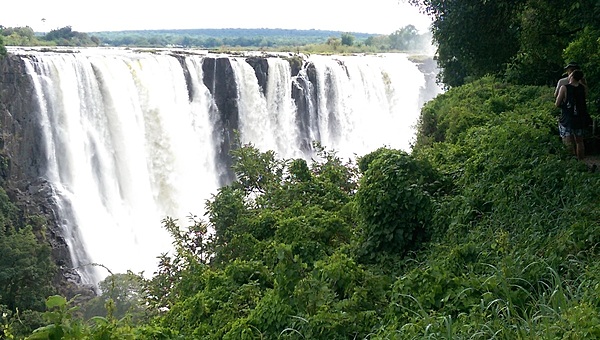
Another view of Victoria Falls, known locally as Mosi-oa-Tunya (The Smoke that Thunders).
Another view of Victoria Falls, known locally as Mosi-oa-Tunya (The Smoke that Thunders). • CIA World Factbook • 2020
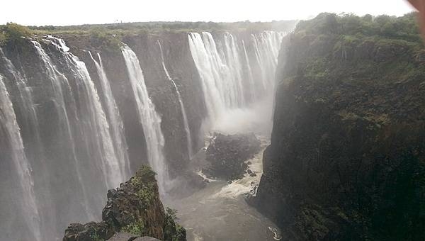
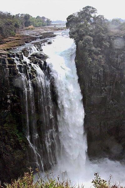
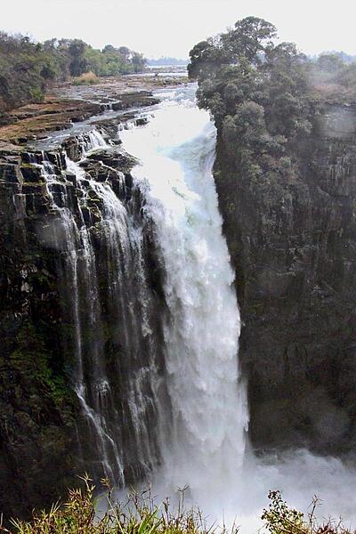
Closeup of Victoria Falls on the Zambezi River. The falls are 1.7 km (1.1 mi) wide and 108 m (360 ft) high.
Closeup of Victoria Falls on the Zambezi River. The falls are 1.7 km (1.1 mi) wide and 108 m (360 ft) high. • CIA World Factbook • 2020
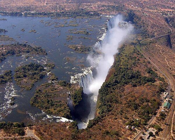
Aerial view of Victoria Falls on the Zambezi River. While the falls are neither the highest nor the widest in the world, during the flood season (February to April) they are the largest, forming the greatest sheet of falling water on earth.
Aerial view of Victoria Falls on the Zambezi River. While the falls are neither the highest nor the widest in the world, during the flood season (February to April) they are the largest, forming the greatest sheet of falling water on earth. • CIA World Factbook • 2020

CIA World Factbook • 2020
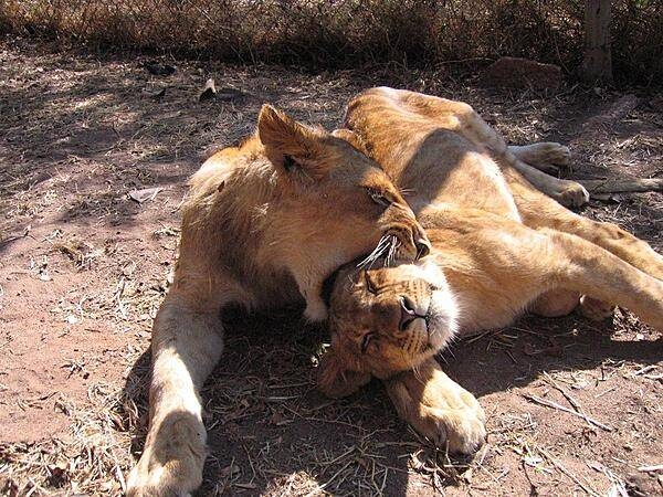
Frolicking lions in a reserve in Harare.
Frolicking lions in a reserve in Harare. • CIA World Factbook • 2020
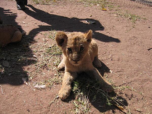
Inquisitive cub in a lion reserve in Harare.
Inquisitive cub in a lion reserve in Harare. • CIA World Factbook • 2020
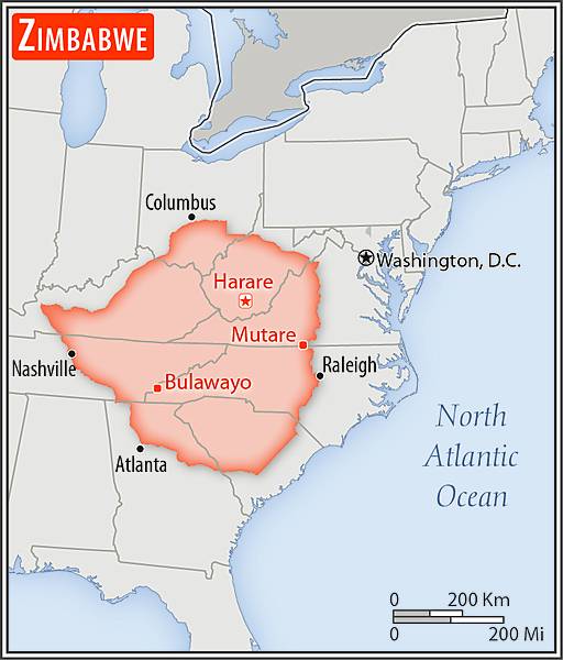
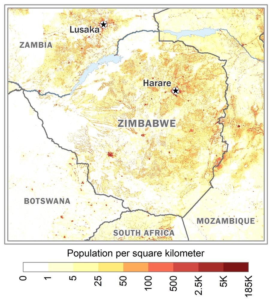
Area comparison map
Area comparison map • CIA World Factbook • 2020
CIA World Factbook • 2020
Media source: CIA World Factbook (2020) — Public Domain