›››
Virgin Islands (U.S.) — Media Gallery
8 items available (flags, maps, photos)
Photos
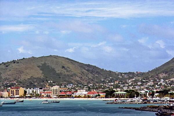
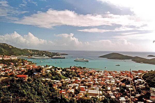
A view of the capital of Charlotte Amalie on Saint Thomas. The port city's deepwater harbor was once a haven for pirates. Today, it is a famed cruise ship port of call.
A view of the capital of Charlotte Amalie on Saint Thomas. The port city's deepwater harbor was once a haven for pirates. Today, it is a famed cruise ship port of call. • CIA World Factbook • 2020
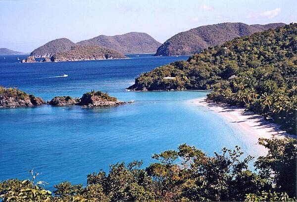
Trunk Bay on Saint John; its beach, considered one of the Caribbean's most beautiful, even features an underwater trail.
Trunk Bay on Saint John; its beach, considered one of the Caribbean's most beautiful, even features an underwater trail. • CIA World Factbook • 2020
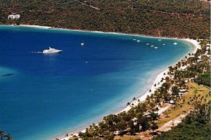
An anchored yacht off the island of Saint Thomas.
An anchored yacht off the island of Saint Thomas. • CIA World Factbook • 2020
CIA World Factbook • 2020
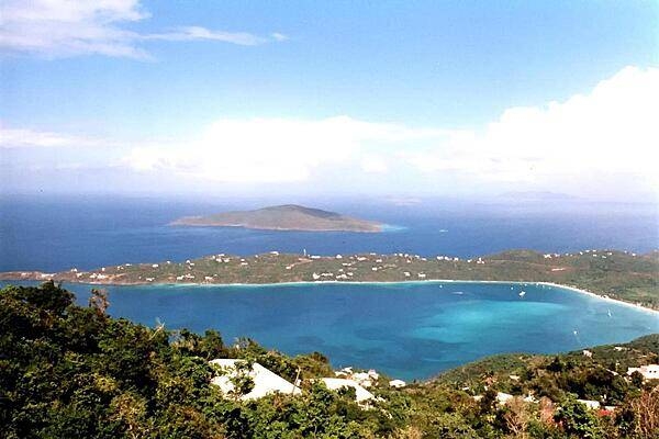
A view of Saint Thomas Bay.
A view of Saint Thomas Bay. • CIA World Factbook • 2020
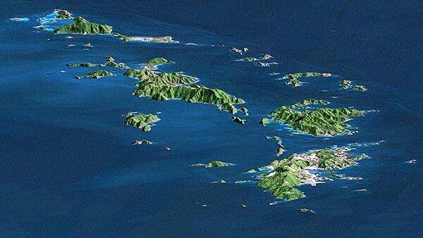
Saint Thomas, Saint John, Tortola, and Virgin Gorda are the four main islands (front to back) in this east-looking view of the US Virgin Islands and British Virgin Islands. For this view, a nearly cloud-free Landsat image was draped over radar elevation data, and shading was added to enhance the topographic expression. Elevation is shown with 1.5x scaled vertical exaggeration. Coral reefs fringe the islands in many locations and appear as very light shades of blue. Tropical vegetation appears green, while developed areas appear in shades of brown and white. Image credit: NASA, JPL, and NIMA.
Saint Thomas, Saint John, Tortola, and Virgin Gorda are the four main islands (front to back) in this east-looking view of the US Virgin Islands and British Virgin Islands. For this view, a nearly cloud-free Landsat image was draped over radar elevation data, and shading was added to enhance the topographic expression. Elevation is shown with 1.5x scaled vertical exaggeration. Coral reefs fringe the islands in many locations and appear as very light shades of blue. Tropical vegetation appears green, while developed areas appear in shades of brown and white. Image credit: NASA, JPL, and NIMA. • CIA World Factbook • 2020
Cruise ships in Charlotte Amalie harbor, Saint Thomas.
Cruise ships in Charlotte Amalie harbor, Saint Thomas. • CIA World Factbook • 2020

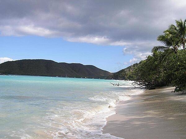
Cinnamon Bay, Saint John.
Cinnamon Bay, Saint John. • CIA World Factbook • 2020
Media source: CIA World Factbook (2020) — Public Domain